Homes Vs. Lots
Home buyers and land buyers are equally particular about the properties they choose to invest in. The internet has made the search for a new home an easy and engaging process, with tons of information and pictures available for a buyer’s perusal. However, a virtual search for land can be a bit more challenging.
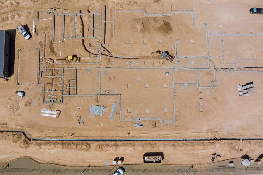
A few years ago it became apparent to me that clients looking for available land on the internet were at a considerable disadvantage to those looking for homes. Listings for homes are often filled with beautiful photographs of the house’s interior, exterior, and neighborhood, providing the searching client with a whole plethora of visual information and understanding. However, lot listings usually only have flat, aerial photos of the parcel and information that’s often hard to picture in a tangible way.
A Lot Mystery
It wasn’t until after a pair of particularly discriminating clients sought my help in their land search that I realized the difficulties presented when searching for available lots on the internet. Just to name a few things I had to keep in mind, my clients had a specific price, desired location, ideal views, build-ability concerns, and topographical preferences. They headed to the internet to join me in the search for their perfect lot.
Then a strange thing happened, I realized that my clients were not pleased with the lots I was suggesting for them even when the parcels met most, if not all, of their requirements. They also sent me lots they had found online that they were interested in, but even those met very few, if any, of their needs.
Reading Topographic Data
After putting the clues together through several conversations and some analysis of the lots we were both choosing, the problem rose to the surface. It became clear to me that the data in a lot listing is not easily interpreted by someone who hasn’t been trained or had experience in the industry. The topography, the lots proximity to other homes, washes, or riparian areas, and the build-ability of the land is lost in the flattened out aerial photographs.
Aside from going out and walking every lot with your own two legs, the only other option is to get a topographic map of the area. While Pima County’s Graphic Information Systems website is the best source, there are still large portions of the county without such maps. Reading and understanding the contours with their associated shapes, the numbers, or elevations are indecipherable. In the worst case scenario the maps can be completely misinterpreted.
For example, to the untrained eye a dirt road can easily seem like a wash or vice versa.
Rick Sack, Interpreter
As soon as it became clear to me that my clients didn’t have all the data, or were not able to read the language of a topographic map the mystery was solved. We were looking at the same lots but seeing two different things because our understandings were not the same. After sitting down together and interpreting the topographic language, the process became much easier. In the end, everyone learned something and I was able to find the perfect parcel for each client.
Despite these setbacks, the internet is still a tremendously important and powerful tool. Knowing its pitfalls and advantages will make your search for the perfect homesite much easier. Whether you’re just starting your search or you’re getting frustrated with the limitations of the internet, give me a call. I can interpret your data, and aid in every level of your land search. I know a lot.
*A version of this blog first appeared in an article I wrote for Arizona Realtor Magazine in 2011 under the title “Shopping for Land on the Internet: A Tucson Land Specialist Shares His Tips.”


